Total: $0.00
Taxes and shipping calculated at checkout


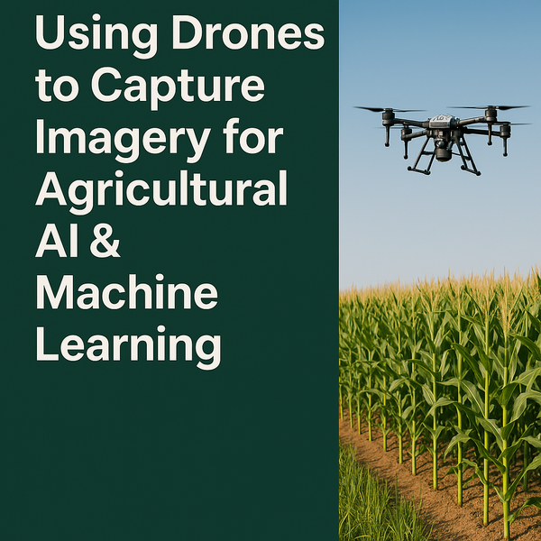
The future of American farming is not just in the soil—it’s also in the sky.
As artificial intelligence (AI) and machine learning (ML) continue to reshape modern agriculture, the role of drones in collecting the high-quality data needed to power these tools has never been more important. From identifying crop stress to forecasting yield, these models are only as good as the imagery they’re trained on. That’s where drones—and skilled operators—make a difference.
Farmers are no strangers to data. Soil samples, field scouting reports, weather forecasts—they all guide decision-making. But AI and ML tools need consistent, labeled, high-resolution imagery to learn how to identify:
To train models to recognize these conditions across diverse climates, terrains, and crop types, data must be gathered from real working farms throughout the U.S.
Drones provide flexible, scalable, and cost-effective ways to capture visual and multispectral data across large acreage. Compared to satellite imagery, drones offer:
And with FAA-authorized Part 137 operators like Influential Drones, farmers can go beyond basic imaging and legally apply crop protection treatments from the air—creating integrated workflows for both diagnostics and action.
Under Part 137 of the FAA regulations, drone operators are authorized to conduct agricultural aircraft operations, including aerial spraying. But what many don’t realize is that this certification also speaks to a higher standard of professionalism, airspace safety, and mission complexity.
At Influential Drones, our team uses this expertise not just to provide drone services—but to help train the next generation of agricultural AI models. Whether it’s mapping soybean stress in Iowa, tracking citrus greening in Florida, or helping researchers monitor corn development in Nebraska, we fly where the data needs to go.
If you’re a grower, agronomist, or agtech researcher, partnering with a drone team experienced in agricultural data collection can bring you:
Let’s Put Your Fields to Work—For the Future of Farming
Influential Drones proudly serves American farmers coast to coast. Whether you're looking to collect imagery for research, improve your precision ag practices, or explore training and drone adoption, we’re ready to help.
Contact us today to discuss your crop, your goals, and how we can help you grow smarter—one flight at a time.