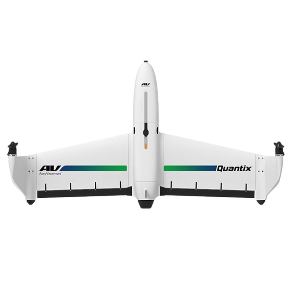
The Quantix aircraft is an American Made fixed-wing drone manufactured by Aerovironment. It's target focus is specifically precision agriculture. This drone is fully autonomous and can vertically takeoff and land with accuracy. Easily survey a whole field from 360 feet in the air, "when you want to."
View RGB color images and NDVI images instantly in the field. Upload other multi-spectral images for a cloud based analysis. Control everything from an included hand help LCD touchscreen controller. Scout up to 400 acres in 45-minutes.
AeroVironment DSS Software
Access stored maps
Pinpoint issues in specific fields
Detect subtle variations of crop health
Compare changes over time to make better decisions
Compare RGB images of crops to NDVI or GNDVI to view what you can’t see with the human eye